I was hoping to walk Wainwright's Outlying route of Bannisdale but had watched the promised fine weekend forecast slowly deteriorate as the week progressed, MWIS predicted a cloudbase of 200-400m, chance of cloud free summits rising to 30% from nil. Any ideas of travelling so far where scrubbed - I'd walk whatever was clear, closer to home! So it was a surprise to see the Lord Seat's group clear, but Skiddaw & the higher hills just had their heads in the clouds. As I travelled South this was replicated throughout the Lakes, a touch of early morning mist rose from Grasmere & Rydal.
So it was a bit disappointing to arrive at Kendal to see low hill fog - too late to change my mind. Wainwright complained this route was pathless, for me, the majority was viewless. There is a vague path, but some of the fences still lack stiles and the route crosses quite rough ground over Borrowdale Head & Lamb Pasture...
As AW lists this as an ascent route of Grey Crag from the Kendal-Shap Road I couldn't resist
The track turns up to the fell here at Whiteside Fold (Moser Farm in AWs day)...

cairn on a foggy Whiteside Pike

from the inscription it appears to have built for the millennium. 'The parishes of Fawcett Forest, Whitwell & Selside met here 28.8.2000'...

the stile to Todd Fell...

a solitary flake of stone & a grass tussock mark Todd Fell's summit...

a deer disappeared into the gloom before I had chance to grab a photo, the route seemed easier going on this side of the fence...

cleared briefly just as I was leaving Capplebarrow's top...

tarn on Ancrow Bank...

& Ancrow's Bank summit...

odd derelict wall, comprising of small flakes rather than substantial stones on the route to Ancrow Bank North...

Ancrow Brow N's summit, starting to clear...

Grey Crag, looked reachable with minimum effort...
this small crag reminded me of Lining Crag on Ullscarf...

looking back to Ancrow Bank North, slightly more effort required...

Grey Crag, the few peat hags could be navigated easily...

Longsleddale & Grey Crag's cairn...

and the view back to the Bannisdale Horseshoe, now completely clear...

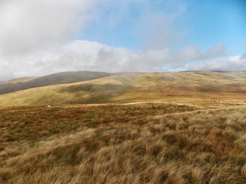
& Bannisdale from Ancrow Brow N, it got a bit tussocky from here onwards...

one of a line of six cairns on a rocky outcrop on Long Crag...

natural indentations or cup marked rocks???


Long Crag's summit & its peat hags (not as bad as AW stated) looking to White Howe...

White Howe, more tussocks...

White Howe, first trig of the day...

Borrowdale Head's top, still walking in tussocks...

approaching Lamb Pasture - the tussocks where taking there toll now...

Lamb Pasture's summit cairn, not sure where the stones came from???

took the direct route down through the broken crags, Bannisdale...

limited parking at Dryhowe Bridge, note the car parked over the other side...

No comments:
Post a Comment